How Does Apple's LiDAR Work: Mapping the World with Precision
Inside magicplan
3 min read
Share

In recent times, Apple has taken a significant leap in mapping and spatial recognition technology by integrating LiDAR (Light Detection and Ranging) in its devices. This technology isn't just a mere advancement; it opens up new possibilities in fields like construction, interior design, restoration, inspection, retail, and more.
What is LiDAR Technology?
LiDAR technology is a method used for measuring distances by illuminating a target with laser light and measuring the reflection with a sensor. The differences in laser return times and wavelengths are then used to make digital 3D representations of the target. Apple's implementation of this technology in its devices has opened a realm of possibilities for developers and users alike.
Unparalleled Accuracy: How LiDAR Enhances Room Mapping
One of the key advantages of LiDAR is its unparalleled accuracy. Traditional mapping techniques often rely on visual recognition or GPS, which can be prone to errors. LiDAR, on the other hand, uses laser beams to measure distances and create detailed 3D models of the surroundings. This level of precision allows for accurate mapping in various environments, from indoors to outdoors.
Whether you're mapping a room for interior design purposes or exploring the great outdoors, Apple's LiDAR scanners provide unmatched accuracy. With every scan, you can capture the exact measurements and dimensions of the space, ensuring that your maps are reliable and precise.
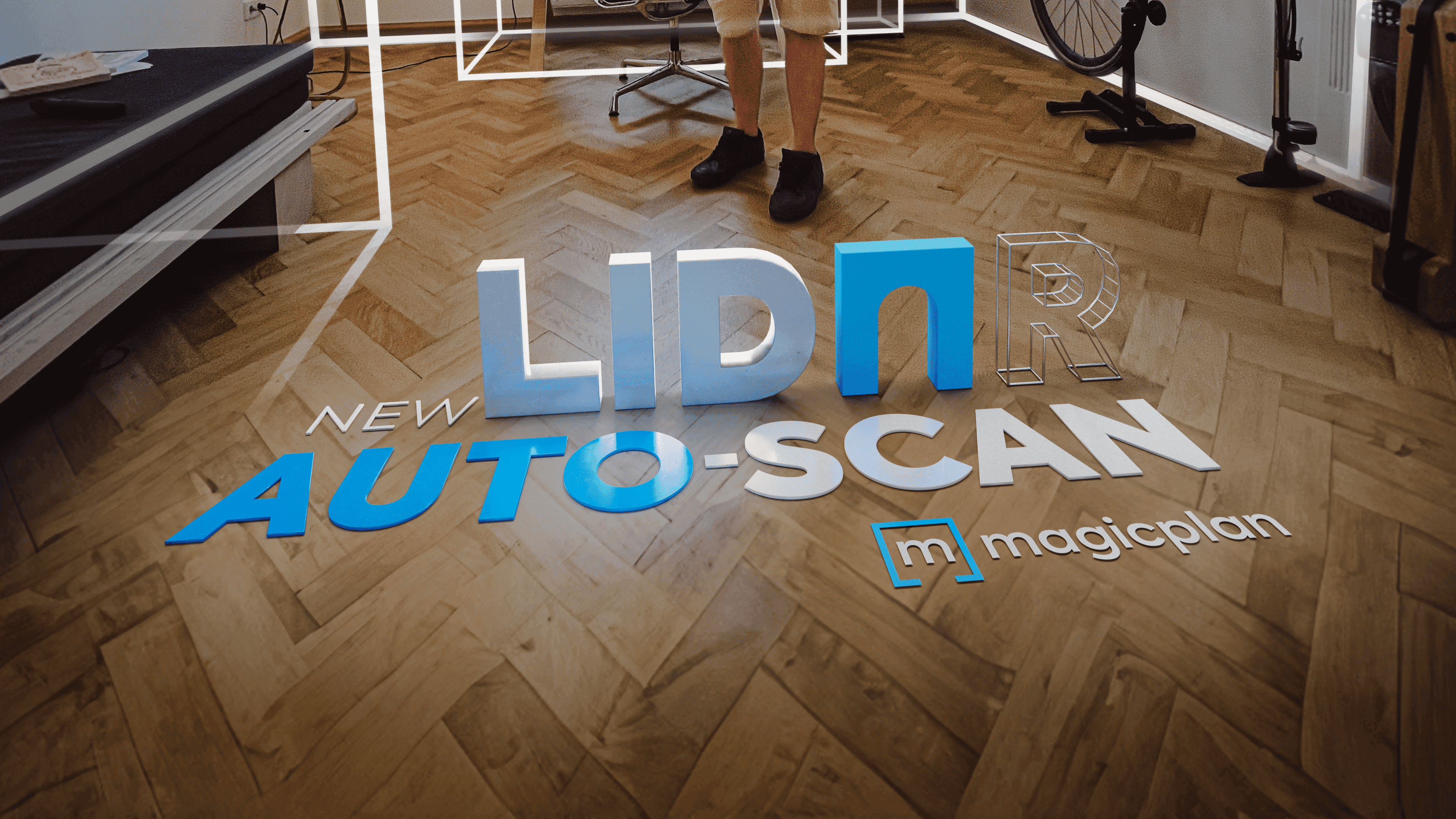
Scanning Entire Properties with magicplan's Auto-Scan
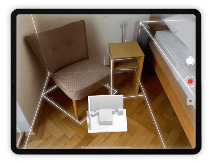
One of the groundbreaking applications of Apple's LiDAR technology is found in magicplan's latest version, which introduces an updated version of the LiDAR scanning feature known as Auto-Scan. This feature allows users to scan multiple rooms and objects in one session effortlessly. The integration of LiDAR significantly enhances the app's ability to quickly and accurately map floor plans and room dimensions while automatically detecting windows, doors, and furniture objects.
How to Scan with an iPhone or iPad Using LiDAR
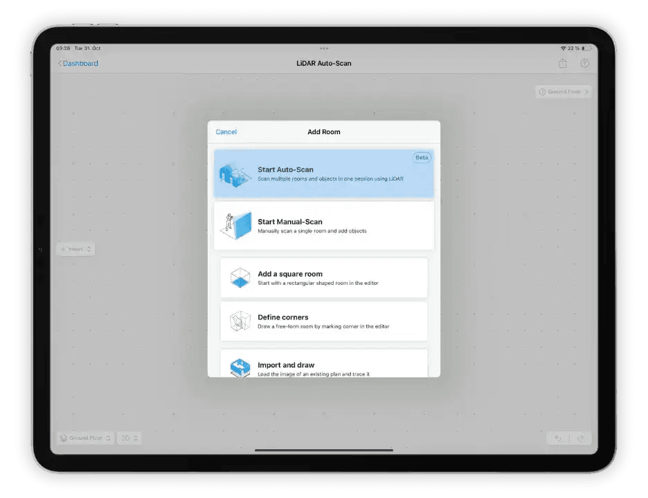
Scanning a floor plan has never been easier. With magicplan's LiDAR Auto-Scan, the process is streamlined and user-friendly. Here’s a simplified walkthrough:
1) Open magicplan: Launch the app on your LiDAR-equipped iPhone or iPad.
2) Select Auto-Scan: Create a new project, add a floor, then a room, and select the Start Auto-Scan option.
3) Scan the Room: Slowly move your phone around to scan each room room of the property. magicplan’s Auto-Scan will capture and process the data in real time.
4) Adjust and Customize: Once the scan is complete, you can adjust and customize the floor plan as needed within the app.
Learn more about how to scan a plan with LiDAR Auto-Scan (iOS) →
Apple Devices with LiDAR Technology
LiDAR technology was first introduced by Apple in 2020 with the launch of the iPad Pro 2020 and iPhone 12 Pro, and continuously integrated this technology into subsequent devices. The integration of LiDAR into Apple devices, such as some of the latest iPhone models, has expanded the scope of applications, making it easier for users to map environments directly from their phones.
Conclusion
The combination of Apple's LiDAR technology and innovative apps like magicplan is propelling us towards a future where mapping and planning spaces become as easy as taking a photo. As we continue to explore the capabilities of LiDAR, the future of spatial recognition and mapping technology looks promising, with endless possibilities awaiting.


